Space war, geopolitics and map reading
“I wisely started with a map.”
(J.R.R. Tolkien, 2014, “The Letters of J.R.R. Tolkien”)
 Blog by Ebe Brons
The introduction of navigational devices had a big impact on humanitarian organisations in the field. GPS in combination with Google maps, Openstreetmaps and other maps, is a powerful tool that allows humanitarians to travel, distribute aid and also enhances their security with relative ease.
The use of GPS took a head start in vehicles, to slowly be integrated into individual smartphones. This allowed humanitarian workers to navigate with only a phone in their hands. The use of paper maps slowly disappeared. Even the occasional lost tourist with a crumpled and wet city-map asking for directions seems something of the past.

Phasing out old school map reading in HEAT courses
In Hostile Environment Awareness Training (HEAT) courses humanitarian workers are trained for working in volatile and non-permissible areas. Map reading and the use of compass are traditionally a part of a HEAT course. These skills are slowly phased out of these courses as most humanitarian workers use GPS enabled devices. “Old school” navigation is something for boy scouts and the occasional mountaineer. The emphasis has become navigating with GPS.
But as big states are speeding up their advancements in weaponry, the world where everybody knows where they are at the click of a button, may come to an end.
Shooting down the boxes in the sky
In 2007, China shot down one of their own weather satellites with an ASAT (anti-satellite) missile. Although it was known at that time that attacking an object in space was possible, (the United States downed a satellite in 1985), this was the first time a non-NATO member succeeded. This event is quite a few years ago and Russia and India also have (or are suspected to have) ASAT capabilities now.
Do not take GPS for granted
A characteristic of modern warfare is the reliance on GPS technology. The war machines that are developed nowadays need to navigate on their own and GPS satellites make this possible. When it is difficult for the opposite site to use their GPS satellites you make their weaponry less effective. An interesting option when fighting a peer competitor.
As we slowly seem to divert from intra-state war to interstate war (a war between states), an armed conflict between states with anti-satellite capabilities becomes conceivable. Additionally, less advanced armies can use GPS spoofing where they interfere locally with GPS signals using a transmitter. And even individuals can acquire them on a shoestring budget, as you can buy them for around 100 USD.
An actual armed conflict and the use of GPS may not be compatible concepts in the near future. ‘The truth is the first thing to die in a war’ may no longer be true, it is GPS technology.
What are the implications for aid workers in the field?
When humanitarians are operating in a warzone or in a pre-war theatre, the GPS signal can be put down for war purposes. This means that your GPS device will stop working or will give you false coordinates. The possible failing of GPS devices puts field workers in a bad spot. You cannot rely on your gadget and you will have to find your own way. At the same time, when an army takes the effort to down a satellite, it is probably increasing its war effort. You might not want to be around when that happens. Navigating to safety is paramount.
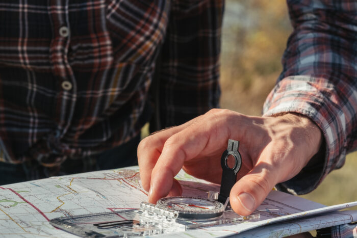
Analog tools such as maps and compasses will serve as a backup for navigation at that moment. But tools are not enough.
Changing world, changing HEAT courses
The world is changing and we might need to give practical skills as map reading and the use of compasses new attention. Having tools is nice, knowing how to use them is even nicer.
Humanitarians have to be ready to read paper maps and navigate with a compass to get where they want to go.
It will be paramount in future HEAT courses to integrate map reading and compass use in its curriculum. It will prepare aid workers and others working in hostile environments to keep going. After all, they must be able to reach safety to deliver aid another day. Even after a GPS blackout.

